James Fallon – j.fallon@pgr.reading.ac.uk
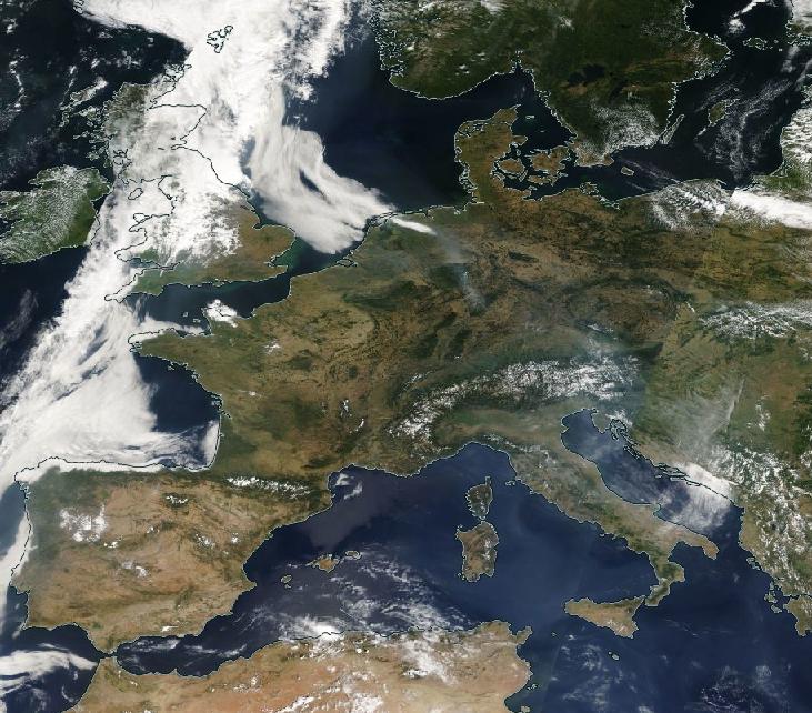
This year’s Conference of the Parties (COP) should have taken place earlier in November, hosted by the UK in Glasgow and in partnership with Italy. Despite many global events successfully moving online this year, from film festivals to large conferences such as the EGU general assembly, the international climate talks were postponed until November 2021.
But young people around the world are more engaged than ever before with the urgent need for international cooperation in the face of the climate emergency. The Fridays for Future (FFF) movement has recorded participation since late 2018 of more than 13,000,000 young people, in 7500 cities from all continents. FFF has adapted to the covid-19 crisis, and on 25th September this year participants from over 150 countries took part both online and in the streets, highlighting the Most Affected People and Areas (MAPA).
Unimpressed by the delay of important climate talks and negotiations, students and youth activists from FFF and a multitude of groups and movements have initiated the MOCK COP26, a 2-week online global conference on climate change that mirrors the real COP.
“My country, the Philippines, is struggling. We don’t want more floods that rise up to 15 feet, winds that peel off roofs in seconds, the rain that drowns our pets and livestock, and storm surges that ravage coastal communities. We don’t want more people to die. We’re still a developing country that contributes so little to global carbon emissions yet we face the worst of its consequences. This is absurd!
Angelo, Philippines
https://www.mockcop.org/why
Programme
Organisers have chosen five themes to focus on:
- Climate education
- Climate justice
- Climate resilient livelihoods
- Health and wellbeing
- Nationally Determined Contributions
Full programme here: https://www.mockcop.org/programme
Over a dozen academic support videos break down complicated topics such as “The Kyoto Protocol”, “Agriculture and Agribusiness”, and the “History of Climate Negotiation”. These videos are helping youth delegates and all participants to understand what happens at a COP summit.
Panel sessions have featured United Nations Youth Envoy Jayathma Wickramanayake, 9 year old Climate & Environmental Activist Licypriya Kangujam, and (actual) COP26 president Alok Sharma.
High Level Country Statements
A unique aspect of MOCK COP that I have been excitedly anticipating is the high level country statements; each a 3 minute speech given by youth climate activists representing their nation.
Mock COP26 is not dominated by big polluters as COP26 is. We believe that we need to amplify the people on the frontlines of climate change, which is why we will be aiming to, throughout Mock COP, uplift the voices of those from MAPA (Most Affected People and Areas) countries above those from the Global North. This is why Mock COP26 is special.
Jamie Burrell, UK
https://www.mockcop.org/today
Youth delegates have been encouraged to give speeches in whichever language they are most comfortable talking. At the time of writing, subtitles don’t appear to be fully functioning. However a large number of talks are given in English, and transcripts of all talks have been made available here: https://drive.google.com/drive/folders/1wnQUMt-rcD9XoKtg8YPWba_LZSf16qTD
I highly recommend setting some time aside to give these speeches a listen. Although the total number might put you off, it is very easy to jump in and out of talks. You can find videos embedded below, or on the official youtube channel.
Africa
Pick: Two youth delegates represent Morocco. Whilst Morocco has been ranked a role model for climate action, the reality of the country’s future is alarming. Globally the most affected are the least protected. It’s time for world leaders to protect everyone.
Americas
Pick: The delegate for Suriname explains risks faced as a Small Island Developing State (SIDS) with infrastructure near the coast. Suriname must implement climate adaptation whilst enhancing its legislation in forestry, mining, and agriculture.
Asia
Pick: Indonesia’s delegate opens with the stark warning that the country will lose 1500 of its islands due to rising sea levels by 2050. The high level statement includes calls to incorporate climate education into the national curriculum, and find ways to protect natural habitat. Indonesia has the 2nd biggest rainforest in the world, but currently has no agreed emissions reductions pathway.
Europe
Pick: Ireland’s youth delegates present a necessarily progressive 5 year plan to stick to the EU target of reducing emissions by at least 65% by 2030. The need for much stronger climate education, and providing access to affordable and sustainable energy, are among many other commitments.
Oceania
Pick: The year started with forest fires devastating large swathes of Australia’s natural habitats. Youth delegates want their nation to lead the world as a renewable energy exporter, and an overhaul of media rules to foster new diverse media outlets and prevent monopolies that currently stall climate action.
What is the hoped outcome?
With so many connected issues relating to the climate and ecological emergency, previous COPs have often seen negotiations stall and agreements postponed. The complexity of tackling this crisis is compounded by the vested interests of powerful governments and coal, oil, and gas profiteers.
But youth messages can be heard loud and clear at MOCK COP 26, reflecting the 5 themes of the conference.
We demand concrete action, not mere promises. It’s time for our leaders to wake up, prioritize the realization of the Green Deal, and cut carbon emissions.
We won’t have more time to alter the effects of the climate crisis if we let this opportunity pass. The clock is ticking. The time for action is NOW.
In the wake of covid-19 induced economic shocks, policy makers must ensure genuine green recovery that engages with ideas of global climate justice.
Youth delegate panels will continue over the weekend, working towards the creation of a final statement outlining their demands for world leaders. This will be presented to High Level Climate Action Champion for COP26 Nigel Topping, at the closing ceremony (12:00 GMT Tuesday 1st December)